Europe’s first autonomous floating laboratory network for live water monitoring
To provide institutions, cities, industry and society with precise inland water quality data — helping to build a cleaner, safer and more sustainable water future.
To create a pan-European network of autonomous floating laboratories that continuously measure, analyse and predict water quality using IoT sensors, AI and satellite data.
Declining water quality is already affecting biodiversity, public health, and long-term water security.
You cannot protect what you do not measure.
Transforming Europe’s inland waters into a live, measurable and predictable ecosystem.
Real-Time Monitoring
Replaces slow manual sampling with continuous, live water quality data.
AI Data Analysis
Transforms big environmental datasets into instant, actionable intelligence.
AI Forecasting (72-hour predictive modelling)
Detects problems before they occur, helping prevent environmental disasters and saving major response costs.
Satellite Integration
Combines space-based water observation with ground-truth sensor data for unprecedented insight.
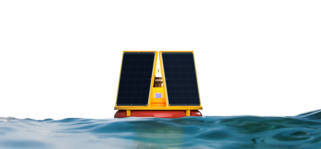
WaterSense WaterStations form a connected network of autonomous floating labs. Modules include:
The modular system grows with the needs of each river and lake.
WaterSense measures and analyses 25+ physicochemical and biological parameters, including:
Clear, interactive charts powered by AI, continuously learning from local and historic data.
All water quality information is stored, processed and accessible through a single platform.
Data is automatically categorised and translated into meaningful environmental indicators.
Predicts water quality shifts and emerging threats before they occur.
Transforms water management from reactive to proactive.
If the customer’s location or parameter is not currently in the WaterSense network, a station will be deployed within 14 days.
WaterSense collaborates with Europe’s top research and government bodies:
WaterSense (MAGLY Sp. z o.o.) is delivering a major research project under the HYDROSTRATEG II national programme, co-financed by the National Centre for Research and Development.
Includes:
Warsaw Waterworks • Radom Waterworks • Płock Waterworks • Warsaw City Greenery Board •
PTTK Poland • Commune Góra Kalwaria • Sulejow Commune • Ryn Commune • Łajs 2000 • ZEW Niedzica S.A. • Zamek Ryn
